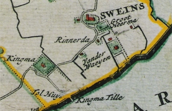
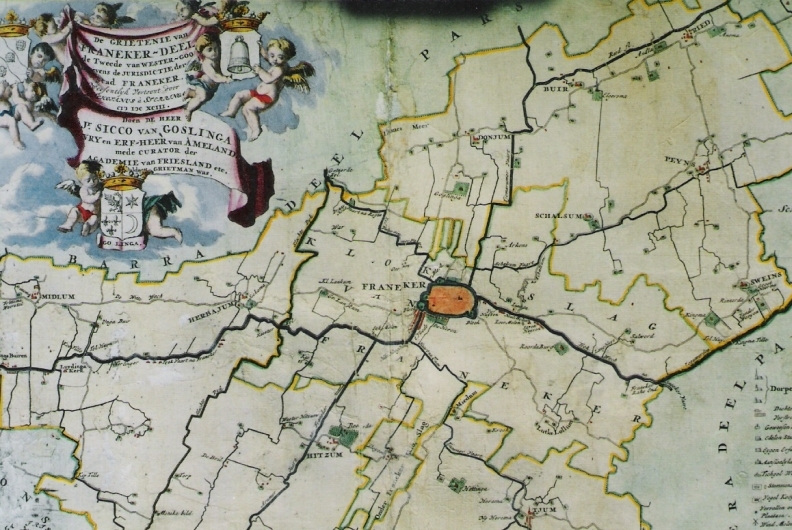
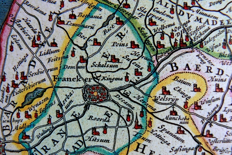
The first historical map of Friesland (Frisia Occidentalis) that shows Kingma State, located to the east of Franeker, is Joan Blaeu’s "Atlas Maior". This cartographic masterpiece was published by Blaeu in Amsterdam in 1662 and 1665. The original map, which was consulted to find this information, dates from the first quarter of the 17th century.
