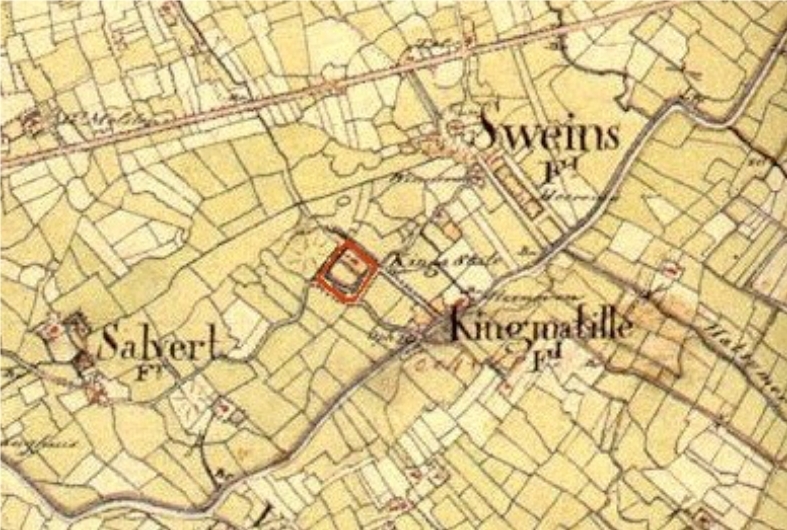
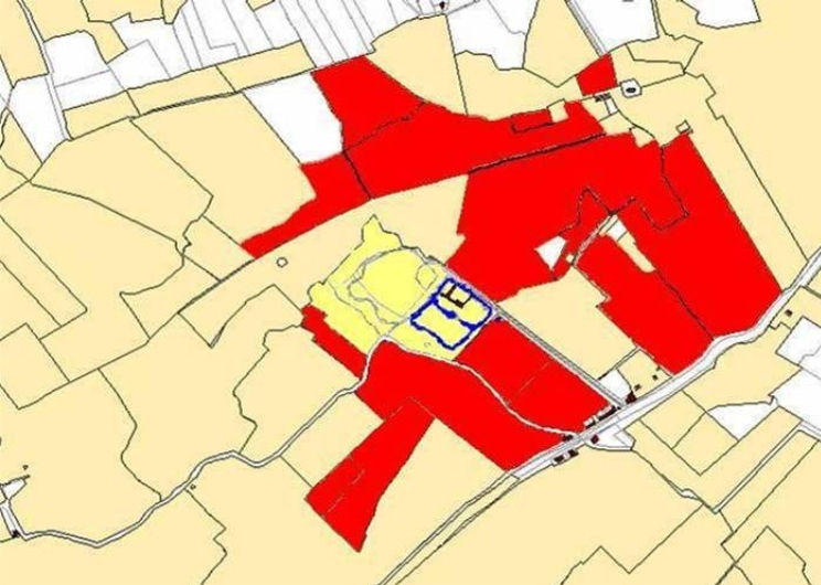
There were more Staten in Zweins. The map of Zweins in the ‘Prekadastrale Atlas fan Fryslân’ (Pre-registry Atlas of Friesland) 1700/1640 and Schotanus’s map from 1698 also mention: Groot Heerma, Heerma State, Rinnerda and Van der Waeijen. These states and sates were less important than Kingma State and did not, for instance, play a role in the justice system. Little or no remnants of these states can be found in the area today, although there is now a farm of the same name on the site of Heerma State. The large number of states in the area does mean that the area was relatively prosperous at the time.
This probably had something to do with the area’s proximity to the canal (now the Van Harinxmakanaal) and the road from Harlingen to Franeker and Leeuwarden. At the site where this road crossed the canal, a drawbridge (tille) had been built.
There was also a tollhouse, a pub and a brickworks. All this activity gave rise to a small settlement named Kingmatille, which exists to this day, despite the fact that the bridge, tollhouse, pub and brickworks are long gone.