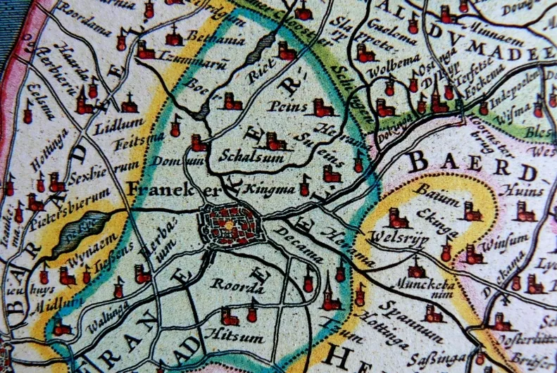
The first historical map of Friesland (Frisia Occidentalis) that shows Kingma State, located to the east of Franeker, is Joan Blaeu’s "Atlas Maior". This cartographic masterpiece was published by Blaeu in Amsterdam in 1662 and 1665. The original map, which was consulted to find this information, dates from the first quarter of the 17th century.
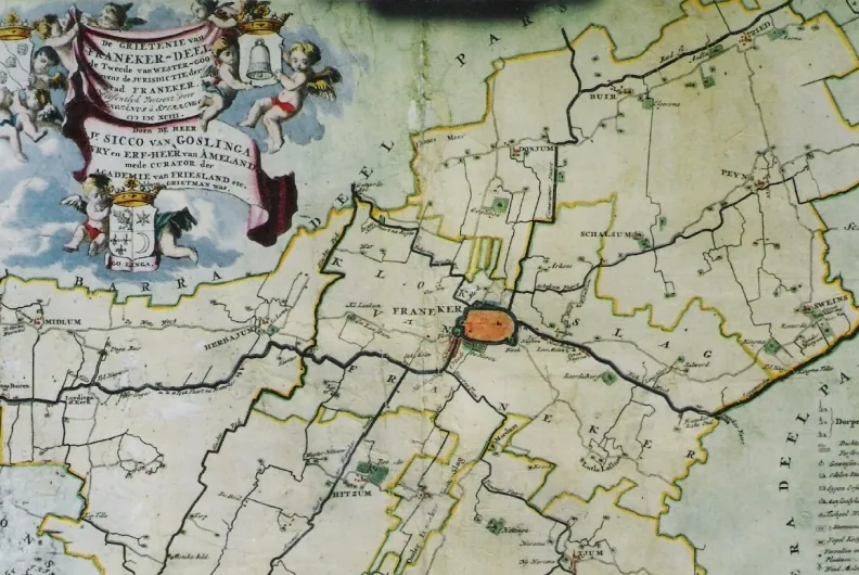
Detailed map from Atlas Blaeu (1662) with Franeker, Kingma and Sueins.Map of Grietenrij Franekerdeel (Schotanus, 1698)
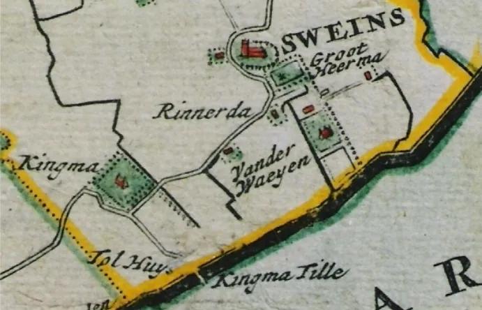
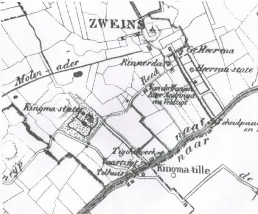
Detailed map Schotanus (1698) with Kingma, Kingmatille with Tolhuis and bridge, Sweins and surrounding states Groot Heerma, Rinnerda and Van der Waeyen.Detailed map of Zweins from the
Maps from the Van Beijma thoe Kingma family archive
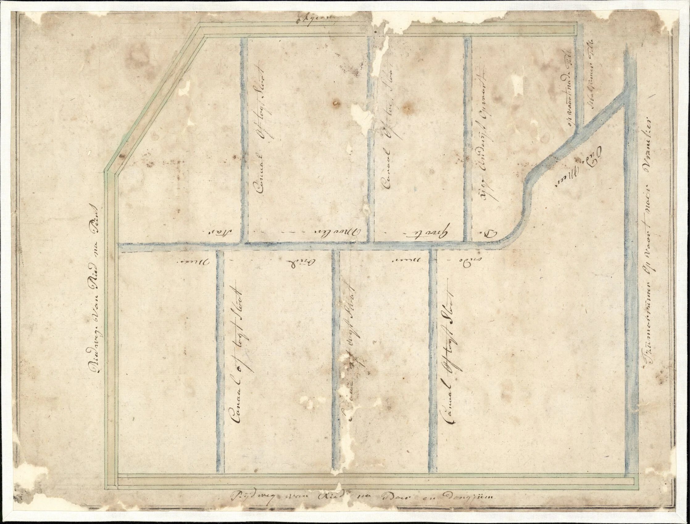
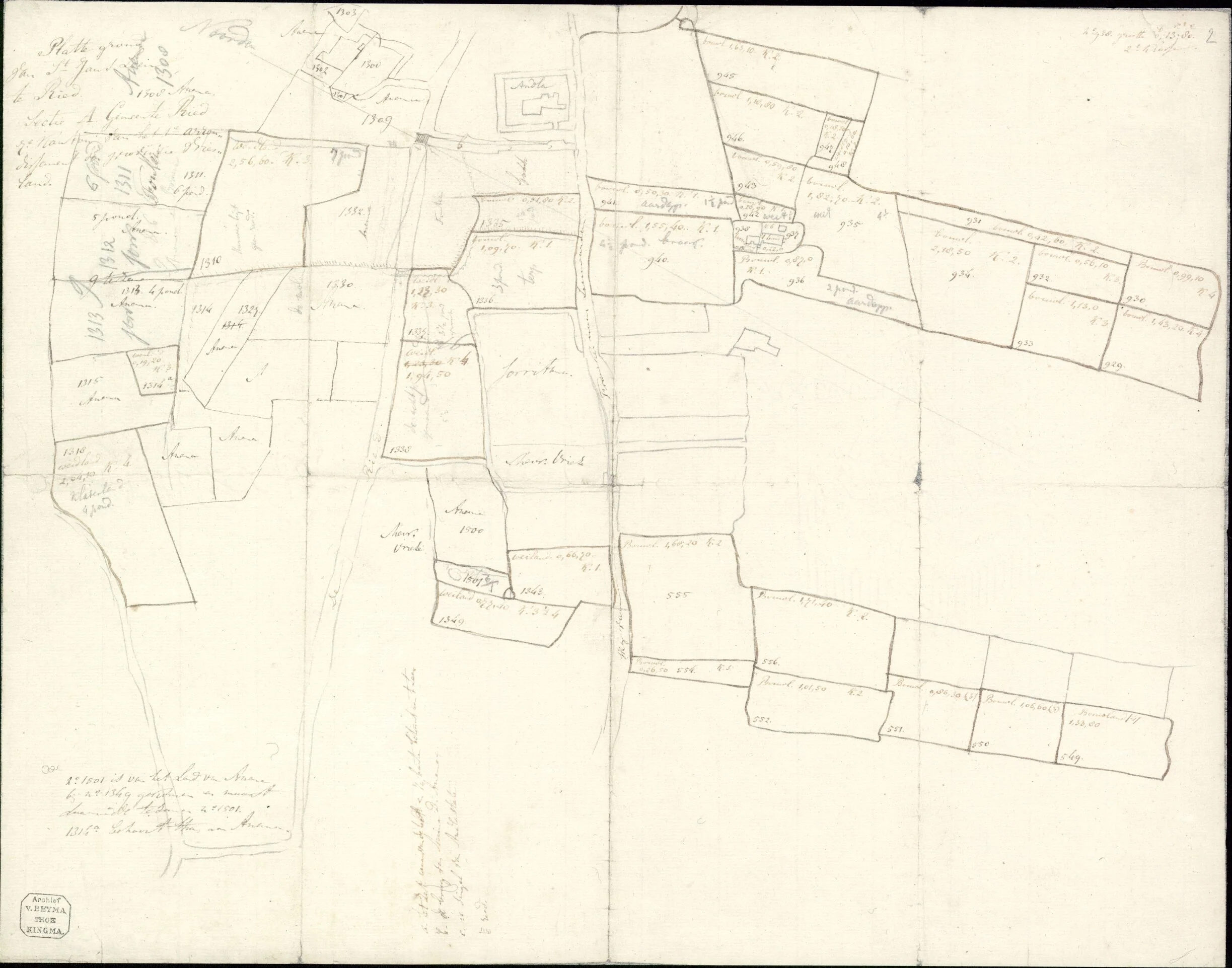
The family archive of the last owners of the state is kept at Tresoar in Leeuwarden. It also contains hand-drawn maps of their land in the surrounding area. Two of them show the area around Ried, a few kilometres north of Zweins: a sketch map from around 1800 of the fields between Ried, Peins and Boer, and a nineteenth-century plan of the property of the St John’s benefice at Ried. The sketch plan of the grounds of the state itself, from the same archive, is shown on the page about the end of the state; the 1837 drawing of the bridge at Kingmatille on the page about the surroundings.
Sketch map of the area between Ried, Peins and Boer, around 1800, coloured drawing. On the right the “Vaart naar Franeker” (canal to Franeker), top right the “Opvaart na de Tille” (canal to the bridge), on the left the “Rijdweg van Ried na Peins” (road from Ried to Peins), at the bottom the road from Ried to Boer and Dongjum; the plots are divided by a “Canaal of togtsloot” (drainage ditch). Source: Tresoar, Maps and Prints Cabinet, Van Beijma thoe Kingma family archive (finding aid 358, map number 748), public domain.“Platte grond van St Jans Leen te Ried, Sectie A Gemeente Ried” (plan of the property of the St John’s benefice at Ried), 19th century, with cadastral numbers, areas and the names of the neighbouring owners; bottom left the stamp “Archief v. Beyma thoe Kingma”. Source: Tresoar, Maps and Prints Cabinet, Van Beijma thoe Kingma family archive (finding aid 358, map number 743), public domain.