
I Kingma State · Chapter III

The surroundings

18th century
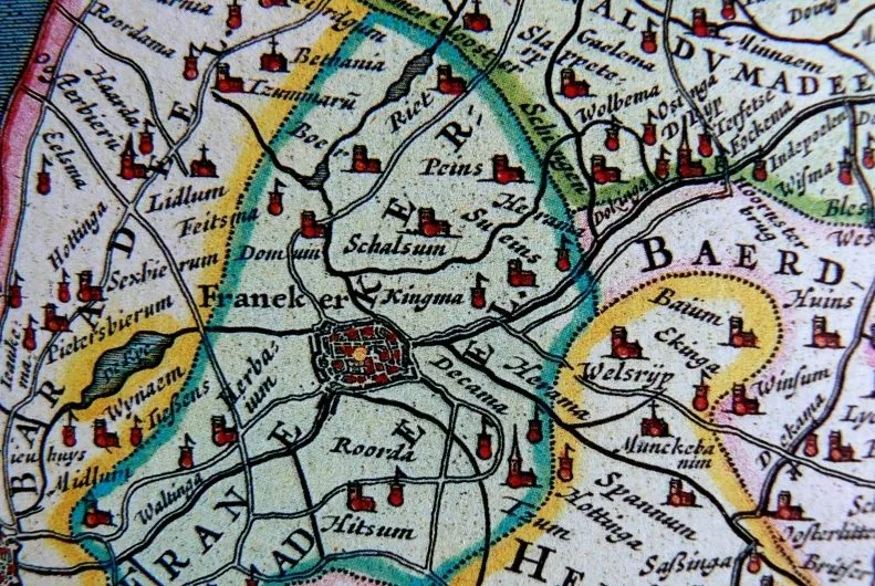
Franekeradeel in the Blaeu atlas, seventeenth century.

Surroundings

There were more Staten in Zweins. The map of Zweins in the ‘Prekadastrale Atlas fan Fryslân’ (Pre-registry Atlas of Friesland) 1700/1640 and Schotanus’s map from 1698 also mention: Groot Heerma, Heerma State, Rinnerda and Van der Waeijen. These states and sates were less important than Kingma State and did not, for instance, play a role in the justice system. Little or no remnants of these states can be found in the area today, although there is now a farm of the same name on the site of Heerma State. The large number of states in the area does mean that the area was relatively prosperous at the time.
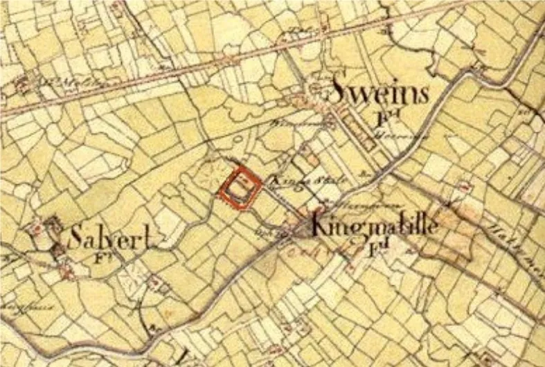
Kingma State in the 18th century
Kingma State in the 18th century.

This probably had something to do with the area’s proximity to the canal (now the Van Harinxmakanaal) and the road from Harlingen to Franeker and Leeuwarden. At the site where this road crossed the canal, a drawbridge (tille) had been built.
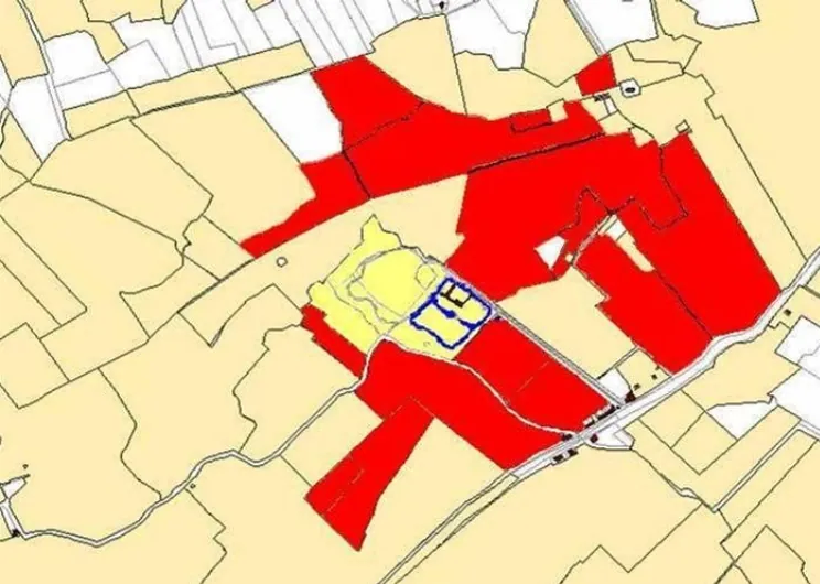
Land belonging to Ignatius van Kingma in the area surrounding the state at the time of his death in 1700. His entire property was over 800 pondematen (about 300 hectares)
Land belonging to Ignatius van Kingma in the area surrounding the state at the time of his death in 1700. His entire property was over 800 pondematen (about 300 hectares).

There was also a tollhouse, a pub and a brickworks. All this activity gave rise to a small settlement named Kingmatille, which exists to this day, despite the fact that the bridge, tollhouse, pub and brickworks are long gone.
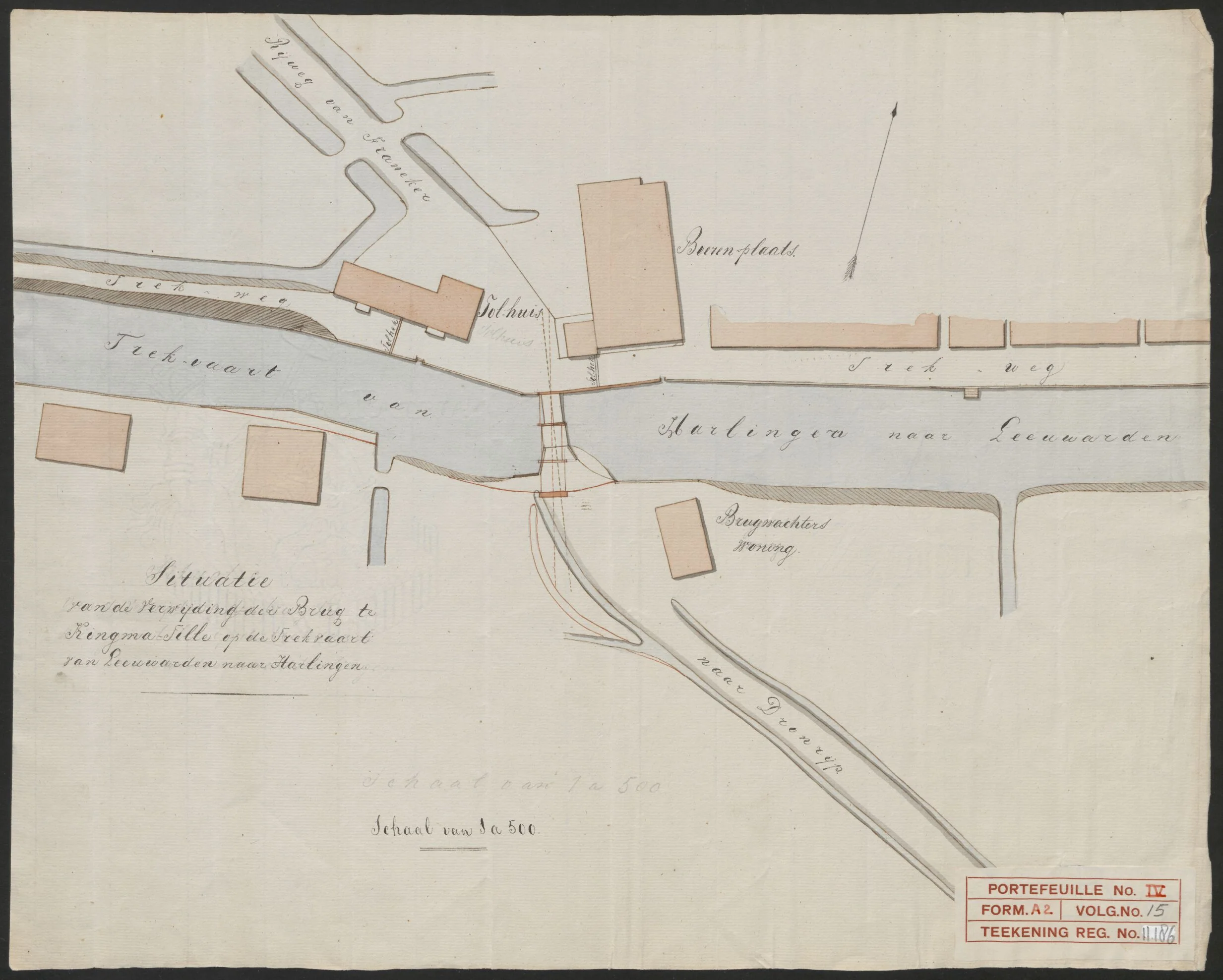
Plan of the bridge at Kingmatille across the towing canal, 1837, with tollhouse, bridge keeper’s house and brickworks
Kingmatille in 1837: “Situatie van de verwijding der Brug te Kingma-Tille op de Trekvaart van Leeuwarden naar Harlingen” (plan for widening the bridge at Kingmatille on the towing canal from Leeuwarden to Harlingen), scale 1:500. North of the canal the tollhouse and the “steenplaats” (brickworks) on the road from Franeker, south of it the bridge keeper’s house and the road to Dronrijp; along the water the towpath. Source: Tresoar, Maps and Prints Cabinet, Rijkswaterstaat collection (finding aid 358, map number 11186), public domain.