
I Kingma State · Chapter I
How the estate began
c. 1450–1600
Introduction
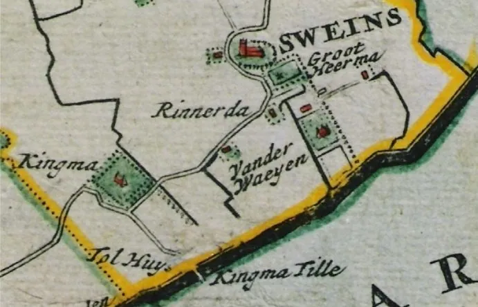
The village of Zweins lies three kilometres east of Franeker. To the southwest of Zweins, there is a wooded area of about 2 hectares known as ‘t Hofke. From the Middle Ages to the 19th century, this was the location of the Kingma State estate. Initially, it was a farm built on a raised mound, surrounded by farmland.
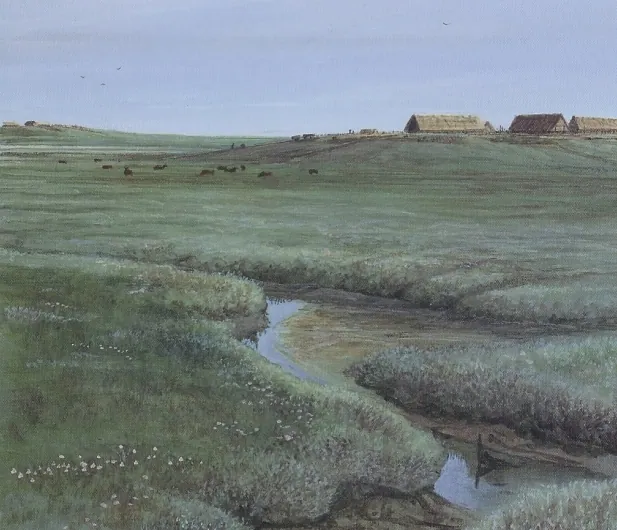
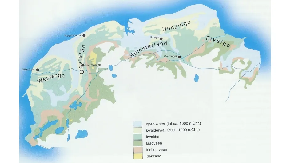
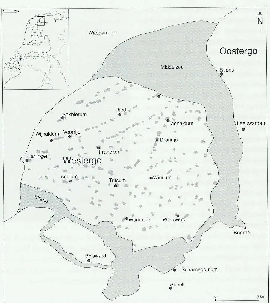
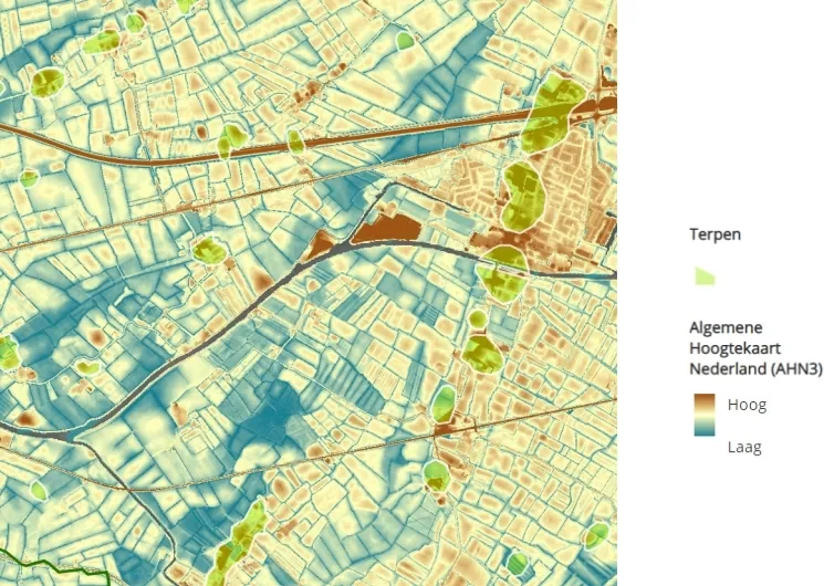
The area in which this state was located was, more than two thousand years ago, a large tidal wetland, a delta of the Oer-Boorne river. This area consisted of channels through which seawater flowed in at high tide and moved back out at low tide. Between the channels, salt-marsh ridges formed that fell dry at low tide. In times of lowered sea levels these salt-marsh ridges were suitable for simple farming. Here, over time, human settlements arose, primitive farmsteads. After some time the sea level began to rise and the people living here had to raise their dwelling place to keep dry feet. They did this raising with soil, but also with the manure of their animals. In this way, series of higher-lying, fertile terpen arose on the salt-marsh ridges. The salt-marsh ridges in this area mostly run east–west. Kinghum was one of the terpen on such a salt-marsh ridge. North of Kingma State lie other rows of terpen, including the row Franeker–Schalsum–Peins–Slappeterp. To limit flooding from the sea, people began building simple dikes around the terpen. Over the centuries these little dikes were joined together and continuous polders arose. Near Peins, the oldest sea dike of the Netherlands was excavated a few years ago. It consisted of stacked sods of grass.
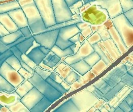
The Salverderweg, which for centuries connected Franeker to Leeuwarden, more or less follows the row of salt marsh mounds that is also home to the Sate Kinghum, later known as Kingma State. It is situated in the close proximity of three other named mounds in this row: Edum, Sjaarda and Salverd. Farmers probably lived on the Kinghum mound over 2000 years ago. During a 2010 archaeological survey at the former site of Kingma State, remains of habitation were found dating from the pre-Roman Iron Age, i.e. before Christ. At the site of the mound, which was excavated in the 19th century, many shards of pottery have been found, probably dating from the Iron Age. Charcoal was also found at various locations, which may indicate ancient human occupation.
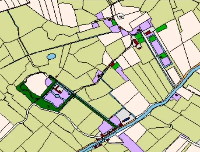
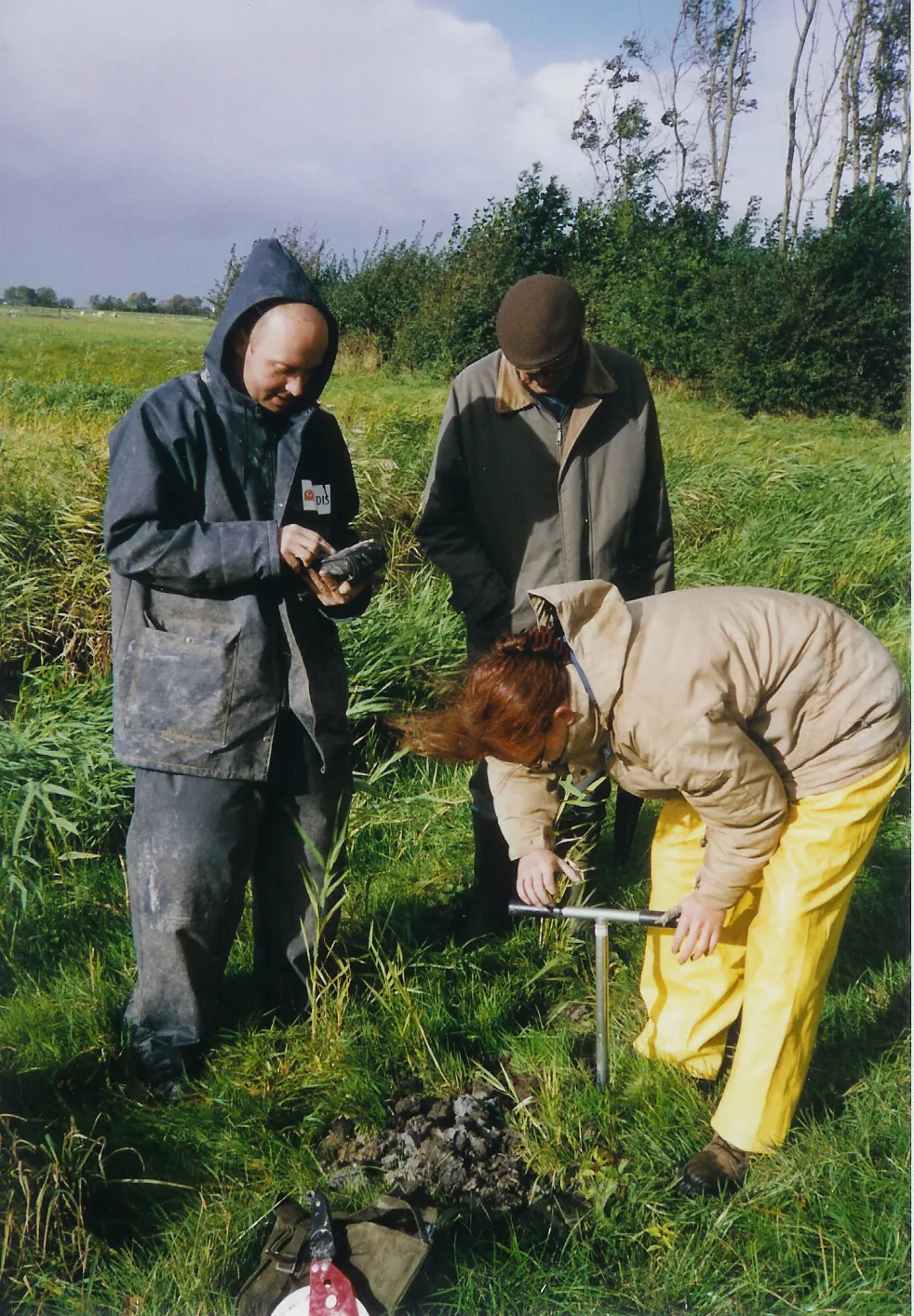
In a previous exploratory archaeological survey performed in 2003, it proved to be possible to trace the counters of the state and moat based on finds. At that time, no clear foundations were found of the state, although some debris consisting of red, orange and yellow bricks and pottery fragments were found from after 1500.
Around 1400, the farms on this salt marsh were owned by the Syaerda (Sjaarda) family. In the "Ordinance of Legal Procedure in Franekeradeel" and in the corresponding registry, which covers the period from 1406 to 1438, we come across Kinghum as the (only) state in Zweins with the right to appoint one of the eight judges of Franekeradeel once every few years. One of these eight judges was appointed grietman, a precursor to what we would now call a mayor.
Kinghum had the right to appoint a judge once every 7 years. Sikke Syaerda was the judge of Salverd in 1408, the judge of Syaerda in 1409 and the judge of Kinghum in 1413.
As such, this must mean that Sicke Syaerda owned Kinghum and the Salvert, Syaerda and Edum farms in 1413. Syaerda was a powerful family in Westergo from the 13th to the 15th century. In 1449, the Syaerda's had a castle built within the moats of Franeker.
When the first buildings of the farmhouse at Kinghum were erected is not known exactly, but it is certain that it was a sate with voting rights in 1413. At that time, the sate was owned by Sicka Syaerda from Franeker, who was one of the most prominent nobles in Friesland at the time.
The oldest known inhabitant of the sate was Jelle Kinghum, who would have been born around 1450.
According to the Register van den Aanbreng, a kind of tax register, this Jelle owned more than one-third of the Kingum sate in 1511. A Johannes Petri, possibly his brother, owned approximately the same share of the farm, and together they owned three-quarters. The remaining quarter originally belonged to the noblewoman Edwer Syaerda, but she had given her share in the Kingum sate to her granddaughter Lutke, who was married to Gerrolt van Herema, in 1510. This Herema might have lived at Heerma (or Herema) state, which was near Kingum in Zweins.
Pieter, Jelle’s eldest son, was the main tenant of the sate in 1511, renting it from his father and (probably) his uncle, as well as paying the Syaerda family a sum for the land.
This Pieter, or his son Jelle, would later acquire ownership of the sate, after which it first changed its name to King(h)uma, before becoming Kingma.