I Kingma State

The estate on old maps

Kingma State on the map

The first historical map of Friesland (Frisia Occidentalis) that shows Kingma State, located to the east of Franeker, is Joan Blaeu’s "Atlas Maior". This cartographic masterpiece was published by Blaeu in Amsterdam in 1662 and 1665. The original map, which was consulted to find this information, dates from the first quarter of the 17th century.
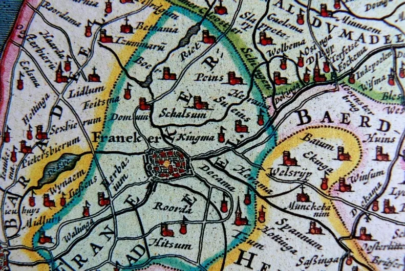
Detailed map from Atlas Blaeu (1662) with Franeker, Kingma and Sueins
Detailed map from Atlas Blaeu (1662) with Franeker, Kingma and Sueins.
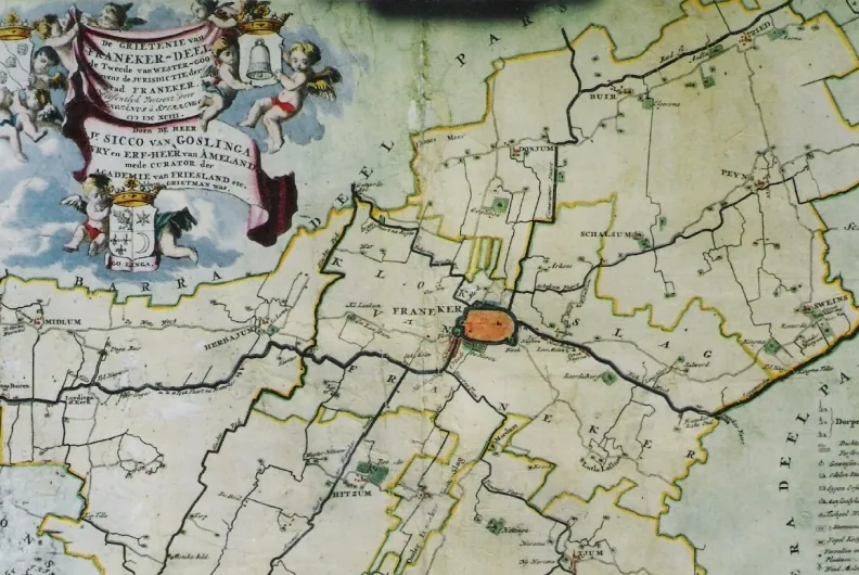
Map of Grietenrij Franekerdeel (Schotanus, 1698)
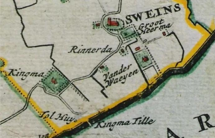
Detailed map Schotanus (1698) with Kingma, Kingmatille with Tolhuis and bridge, Sweins and surrounding states Groot Heerma, Rinnerda and Van der Waeyen
Detailed map Schotanus (1698) with Kingma, Kingmatille with Tolhuis and bridge, Sweins and surrounding states Groot Heerma, Rinnerda and Van der Waeyen.
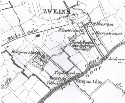
Detailed map of Zweins from the